Grand Rapids Snowfall and Roof Risk by Month
Grand Rapids snowfall drives roof damage risk on a predictable month-by-month schedule — and knowing where you are in that calendar helps West Michigan homeowners time inspections and repairs before, not after, a leak. Grand Rapids Roofing Pros is an independent dispatch service that connects homeowners with licensed local roofers throughout that calendar.
Call now for a licensed local roofer
Call now and we’ll connect you by phone with the licensed local roofer you’re matched with — no phone tag, no obligation.
Ready to talk to someone about your roof?
Call to reach the licensed local roofer you’re matched with in Grand Rapids & West Michigan.
Call (901) 704-8932When you call, stay on the line for a few seconds while we match you with the licensed local roofer for your area. Have your address and a quick description of the problem ready.
We connect homeowners with independent licensed roofing professionals in the Grand Rapids area. We are not a licensed contractor and do not perform roofing work ourselves.
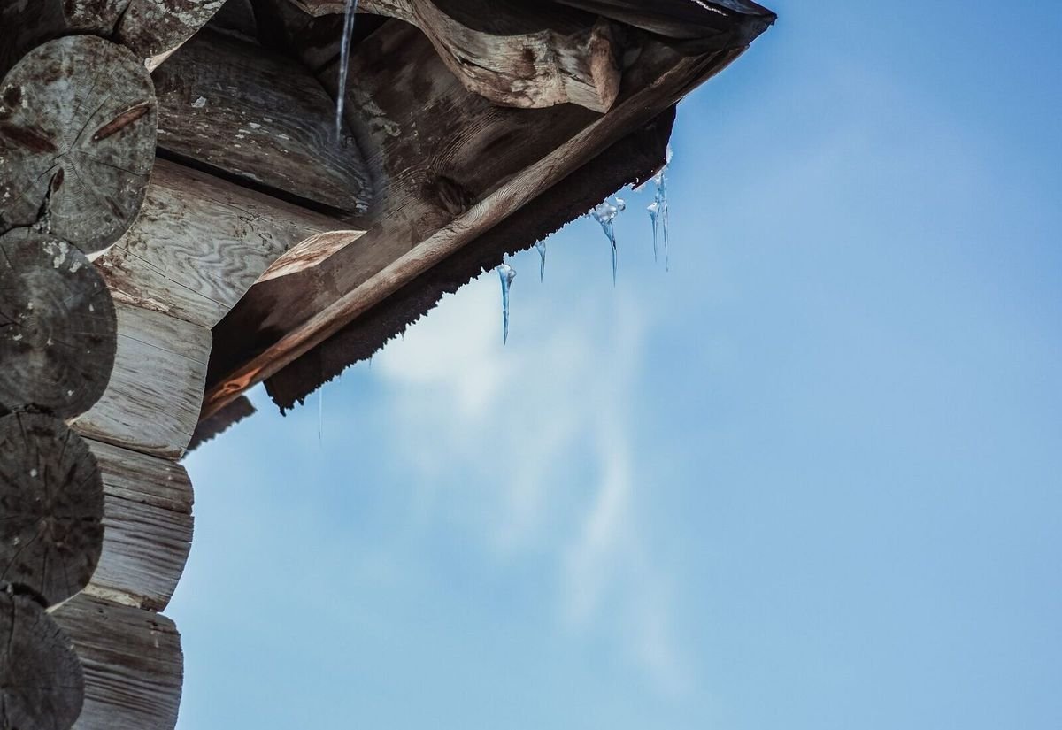
Grand Rapids snowfall and roof risk, at a glance
Grand Rapids averages 77.6 inches of snow a year (NOAA/NCEI climate normals, Gerald R. Ford International Airport, 1991–2020), and more than 60 inches of that falls in exactly three months: December (20.8″), January (22.6″), and February (17.2″). Roof risk follows that same curve — ice-dam risk builds through the standing December–February snowpack, then freeze-thaw leak risk takes over in March and April as the pack melts off in fits and starts.
What a Grand Rapids winter puts on the calendar
These are NOAA climate normals for the Gerald R. Ford International Airport station, not national averages.
Average annual snowfall, 1991–2020 NOAA/NCEI climate normals.
Falls in Dec (20.8″), Jan (22.6″) and Feb (17.2″) — the core ice-dam window.
Per year with 10″+ of snow on the ground, mostly in Jan–Feb.
Jan–Feb snowfall increase vs. a generation ago as lake-effect bands push inland.
Sources: Current Results / NOAA-NCEI climate normals for Grand Rapids (Gerald R. Ford International Airport station); WZZM 13, citing National Climate Assessment data on the inland shift of Lake Michigan lake-effect snow bands.
Grand Rapids roof risk, October through April
Average snowfall by month (NOAA/NCEI normals) paired with what it typically means for a Grand Rapids roof.
October
Prep windowSnow is rare, but this is the last practical month for a fall attic-inclusive inspection before the season builds.
November
~4″Early snow can arrive; risk is low but eave ice-barrier and ventilation gaps found now can still be addressed before the pack sets in.
December
20.8″The standing snowpack begins in earnest — ice-dam risk starts climbing as attic heat has continuous snow cover to melt from below.
January
22.6″Grand Rapids’ snowiest month on average. Peak ice-dam season: the pack is deepest and most persistent.
February
17.2″Still deep in the standing-pack window; most of the year’s 8.3 average days with 10″+ on the ground fall in Jan–Feb.
March
~7.6″Freeze-thaw whipsaw begins — daytime melt and nighttime refreeze stress flashing, valleys, and nail pops in addition to any remaining ice dams.
April
~2.0″Snowfall tapers sharply, but freeze-thaw leak risk lingers into early spring as the last of the pack clears.
May–Sept
Off-seasonThe lowest-risk stretch for snow-driven damage — the practical window for roof replacement and larger repair projects.
Grand Rapids is trending snowier mid-winter, not less
Grand Rapids’ seasonal snowfall rose from 70.9 inches (1961–1990) to 76.9 inches (1991–2020), with the January–February average up roughly 6 inches — even as immediate-lakeshore Muskegon fell 26% over the same period. As Lake Michigan freezes later, lake-effect snow bands push farther inland, delivering more mid-winter snow to the Grand Rapids metro specifically rather than less.
That means the December–February risk window isn’t shrinking. It’s a reason to treat the fall inspection window (October–November) as more valuable over time, not less.
Fall is the highest-leverage month
An attic-inclusive inspection in October or November — insulation, air-sealing, ventilation, eave ice-barrier coverage — addresses the exact variables that drive December–February ice-dam risk, before the standing snowpack arrives.
Questions Grand Rapids homeowners ask
What’s the single riskiest month for Grand Rapids roofs?+
January, on average — it’s the snowiest month (22.6″) and sits in the middle of the standing-snowpack window that drives ice dams. December and February carry similar risk on either side of it.
Is roof risk only about snowfall totals?+
No. Standing snow cover matters as much as total snowfall — Grand Rapids holds 5″+ of snow on the ground for about 28.7 days a year and 10″+ for about 8.3 days, mostly in January and February. That persistent pack, not any single storm, is what feeds an ice dam.
When should I schedule a roof inspection based on this calendar?+
Fall — October or November — is the highest-leverage window, since it’s before the December–February snowpack sets in and gives time to address insulation, ventilation, or eave ice-barrier gaps.
Is Grand Rapids getting snowier or less snowy over time?+
Mid-winter, snowier. Grand Rapids’ seasonal snowfall rose from the 1961–1990 normal to the current 1991–2020 normal, with January–February specifically up about 6 inches, as lake-effect snow bands shift farther inland from Lake Michigan.
Seasonal roofing help across Grand Rapids & Kent County
We connect homeowners with licensed roofers throughout the Grand Rapids metro and surrounding West Michigan communities, all year.
More ice dam guides for Grand Rapids homeowners
Get matched with a licensed Grand Rapids roofer
Call now and we’ll connect you with a licensed West Michigan roofer — for a fall inspection, active ice-dam removal, or a spring freeze-thaw check. No phone tag, no obligation.
Call now for a roofer
Independent dispatch service connecting homeowners with licensed local roofing professionals. We are not a roofing contractor.