Is Grand Rapids Getting More Snow? The Lake-Effect Trend
Yes — Grand Rapids’ mid-winter snowfall has measurably increased over the past generation, even as the immediate Lake Michigan shoreline gets less. As the lake freezes later, lake-effect snow bands are shifting farther inland, and Grand Rapids sits in that inland footprint. Grand Rapids Roofing Pros is an independent dispatch service that connects West Michigan homeowners with licensed local roofers — here is what the trend actually shows and why it matters for ice-dam risk.
Call now for a licensed local roofer
Call now and we’ll connect you by phone with the licensed local roofer you’re matched with — no phone tag, no obligation.
Ready to talk to someone about your roof?
Call to reach the licensed local roofer you’re matched with in Grand Rapids & West Michigan.
Call (901) 704-8932When you call, stay on the line for a few seconds while we match you with the licensed local roofer for your area. Have your address and a quick description of the problem ready.
We connect homeowners with independent licensed roofing professionals in the Grand Rapids area. We are not a licensed contractor and do not perform roofing work ourselves.
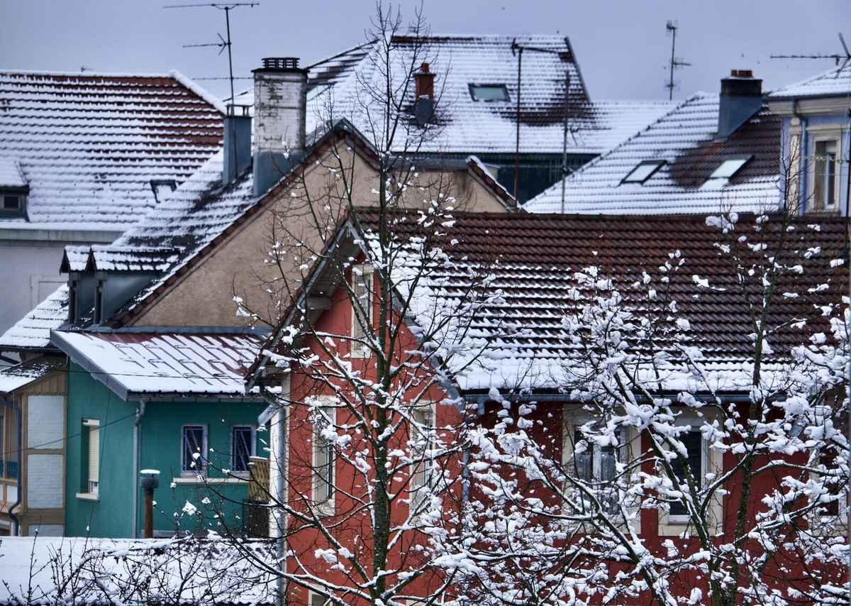
Quick answer: yes, mid-winter snowfall is trending up, not down
Grand Rapids’ seasonal snowfall rose from a 70.9-inch average (1961–1990) to 76.9 inches (1991–2020), with the January–February average alone up roughly 6 inches — even as immediate-lakeshore Muskegon, just 30 miles west, saw its snowfall fall 26% over a similar period. The explanation is Lake Michigan freezing later in the season: as open water persists longer, lake-effect snow bands push farther inland before they discharge, delivering more mid-winter snow to the Grand Rapids metro specifically rather than dropping it at the shoreline.
Why is Muskegon getting less snow while Grand Rapids gets more?
Lake-effect snow forms when cold air moves across the relatively warmer open water of Lake Michigan, picking up moisture that falls as snow once it reaches land. Historically, most of that snow fell close to the shoreline. As winters trend milder overall and the lake stays open (unfrozen) later into the season, the moisture-laden bands travel farther before they discharge — shifting the heaviest snowfall inland, toward communities like Grand Rapids, while the immediate shoreline sees comparatively less.
That is a genuinely counterintuitive pattern: a warming climate producing more peak-winter snow 30 miles inland while the coast 30 miles away gets less. It is also the reason a Grand Rapids ice-dam risk assessment can’t simply borrow lakeshore data or assume the risk is shrinking along with milder winters generally.
What the trend means for ice-dam risk here
Ice dams need a standing snowpack for attic heat to melt from below — the more mid-winter snow that accumulates and stays on the roof, the longer that melt-refreeze cycle has to run. A rising January–February snowfall average does not suggest Grand Rapids’ ice-dam exposure is fading; if anything, it argues the standing-snowpack window that feeds ice dams is being reinforced rather than shortened. That is directly relevant to how West Michigan homeowners should think about attic insulation, ventilation, and eave ice-barrier coverage — not as one-time fixes for a shrinking problem, but as ongoing maintenance for a persistent one.
Grand Rapids snowfall, then vs. now
These are NOAA/NCEI climate-normal comparisons, not a single unusual winter.
Grand Rapids’ seasonal snowfall average in the earlier 30-year climate-normal period.
The current 30-year climate-normal average — an increase, not a decline.
Approximate rise in the January–February average — the core of the ice-dam window.
Approximate decline at the immediate lakeshore over a similar period, the mirror image of the inland trend.
Source: WZZM 13 — “Shifting Snow”, citing National Climate Assessment / Midwest Historical Climate data; baseline snowfall figures per Current Results (NOAA/NCEI Climate Normals, GRR).
Does this apply outside the city itself?
The inland shift is a regional pattern, not a single-ZIP-code anomaly.
The metro ring shares the exposure
Communities to the north and west of the city — Walker, Comstock Park, and Rockford, plus Grandville and Byron Township to the southwest — sit inside the same modern inland lake-effect footprint as the city core.
It’s not a “how much snow” trend, it’s timing
The increase concentrates in December through February — the exact window that matters for ice dams — rather than spreading evenly across the whole snow season.
It reinforces, not replaces, the existing risk picture
The trend adds to Grand Rapids’ already-documented standing-snowpack pattern; see the month-by-month breakdown in Grand Rapids’ snowiest months and roof impact.
For the peak-window framing specifically, see January–March ice dam season in Grand Rapids.
Questions West Michigan homeowners ask
Is Grand Rapids’ snowfall increase a recent thing or a long-term trend?+
It’s a multi-decade trend, comparing the 1961-1990 NOAA climate-normal period (70.9 inches average) to the current 1991-2020 period (76.9 inches average) – not a single unusually snowy winter.
Why would a warming climate produce more snow, not less?+
Because Lake Michigan freezes later as winters trend milder overall, the open water that generates lake-effect snow persists longer into the season. That lets the snow bands travel farther inland before discharging, increasing mid-winter totals in inland communities like Grand Rapids even as the immediate shoreline gets less.
Does this mean Grand Rapids will keep getting snowier every year?+
The data shows a 30-year-average shift, not a guarantee of year-over-year increases. Any individual winter can be lighter or heavier than the trend; the point is that the multi-decade average has moved up, not down.
Should this change how I think about my roof’s ice-dam risk?+
It’s a reason not to assume ice-dam risk is fading. The trend suggests the standing mid-winter snowpack that feeds ice dams is, if anything, being reinforced – which supports keeping attic insulation, ventilation, and eave ice-barrier coverage current rather than treating it as a one-time fix.
Does the trend affect the whole Grand Rapids metro, or just the city?+
The inland-shift mechanism applies to the broader metro ring, not just the city core – communities like Walker, Comstock Park, Rockford, Grandville, and Byron Township sit in the same modern lake-effect footprint.
Help across Grand Rapids & the inland snow-band communities
We connect homeowners with licensed roofers throughout the Grand Rapids metro and surrounding West Michigan communities.
Related homeowner guides
Get matched with a licensed Grand Rapids roofer
Call now and we’ll connect you with a licensed West Michigan roofer for an inspection or ice-dam prevention work ahead of the season. No phone tag, no obligation.
Call now for a roofer
Independent dispatch service connecting homeowners with licensed local roofing professionals. We are not a roofing contractor.