How Much Snow Does It Take Before Ice Dams Form in Grand Rapids?
There is no single snowfall trigger. Ice dams need a snowpack that survives multiple days of attic heat loss, not just one storm — and Grand Rapids averages 28.7 days a year with 5 inches or more of snow on the ground, concentrated in January and February. Grand Rapids Roofing Pros is an independent dispatch service connecting West Michigan homeowners with licensed roofers once a dam has formed.
Call now for a licensed local roofer
Call now and we’ll connect you by phone with the licensed local roofer you’re matched with — no phone tag, no obligation.
Ready to talk to someone about your roof?
Call to reach the licensed local roofer you’re matched with in Grand Rapids & West Michigan.
Call (901) 704-8932When you call, stay on the line for a few seconds while we match you with the licensed local roofer for your area. Have your address and a quick description of the problem ready.
We connect homeowners with independent licensed roofing professionals in the Grand Rapids area. We are not a licensed contractor and do not perform roofing work ourselves.
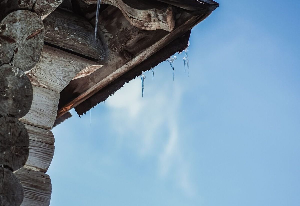
Quick answer: it’s standing snow depth over days, not one storm’s total
There’s no magic inch count that flips a Grand Rapids roof from safe to at-risk. What matters is whether snow survives long enough for attic heat to melt its underside, refreeze at the cold eave, and repeat night after night. Grand Rapids averages 28.7 days a year with 5 inches or more of snow depth on the ground, almost entirely in January and February. That standing pack, not a single storm, is what an ice dam needs. Grand Rapids Roofing Pros times fall inspections before the pack sets in.
Is it the total snowfall or the standing depth that matters more?
Grand Rapids averages 77.6 inches of snow a year at Gerald R. Ford International Airport, per NOAA/NCEI climate normals (1991–2020) — and roughly 60 inches of that falls across just three months: December (20.8″), January (22.6″), and February (17.2″). But the annual total is a backdrop, not the trigger. A roof can shed a two-inch snow in a day with no ice-dam risk at all. The real driver is snow depth on the roof over time: Grand Rapids holds a 5-inch-plus pack for an average of 28.7 days a year, and 10 inches or more for 8.3 days a year, mostly clustered in the same Jan–Feb window as the heaviest monthly totals.
That distinction matters because it reframes the question homeowners should ask. It isn’t “how many inches fell last night,” it’s “has snow been sitting on this roof, over a warm attic, for more than a few days.”
The two ingredients an ice dam needs
- A standing snowpack that survives more than a day or two
- A warm attic leaking heat into the roof deck underneath it
- Neither ingredient alone is usually enough — it’s the combination
- Well-ventilated, well-sealed attics can sit under weeks of snowpack with far less risk
How many days does Grand Rapids typically hold a standing snowpack?
These are NOAA/NCEI climate normals for the Gerald R. Ford International Airport station, 1991–2020.
Average total snowfall per year, front-loaded into the Dec–Feb ice-dam window.
Average days per year with 5 inches or more of snow depth on the ground, mostly Jan–Feb.
Average days per year with a 10-inch-plus standing pack — sustained fuel for repeated melt-refreeze cycles.
Grand Rapids’ Jan–Feb snowfall has risen roughly 6 inches versus the 1961–1990 average as lake-effect bands shift inland.
Sources: Current Results — Grand Rapids snowfall and snow-depth data (NOAA/NCEI Climate Normals, GRR).
Does a bigger storm always mean worse ice dams?
Not on its own. The same snow depth produces very different outcomes depending on what the attic is doing underneath it.
Warm, leaky attic
Air leaks around can lights, exhaust fans, and the attic hatch let house-temperature air rise into the attic, melting the snowpack from below even on a mild day.
Cold, well-sealed attic
An attic that stays close to outdoor temperature keeps the roof deck cold too — the same standing snowpack simply sits there without melting underneath.
Roof geometry
Valleys, dormers, and low-slope sections concentrate snow depth locally, so a home with complex rooflines can see dam-forming depth in spots even during an average snow year.
For the full mechanism behind why identical snow depth produces different outcomes, see our guide to how ice dams form on Grand Rapids roofs, and get ahead of the season with our fall ice dam prevention checklist.
Questions Grand Rapids homeowners ask
Is there a specific inch count that causes ice dams?+
No single number. What matters is whether snow sits on the roof for multiple days over a warm attic. Grand Rapids averages 28.7 days a year with 5 inches or more of standing snow depth, and that duration — not any one storm’s total — is the better risk signal.
Can a light snow year still produce ice dams?+
Yes, especially in roof valleys, dormers, and low-slope sections where snow naturally concentrates to a greater depth than the surrounding roof, even in a below-average season overall.
Why did my neighbor’s roof get an ice dam and mine didn’t after the same storm?+
Almost always attic conditions, not the storm. A warmer, leakier attic melts the same snowpack from below faster than a well-sealed, well-ventilated one, even on identical roofs receiving identical snowfall.
Is Grand Rapids snowfall trending up or down?+
Up in the exact window that matters most: Jan–Feb snowfall has risen roughly 6 inches compared with the 1961–1990 average, as lake-effect snow bands have shifted farther inland — even as immediate-lakeshore cities have seen totals fall.
Should I clear snow off my roof to prevent ice dams?+
Reducing the snow load at the eave with a roof rake used safely from the ground can help, but the underlying fix is attic-side: sealing air leaks and improving ventilation so the roof deck stays cold regardless of how much snow sits on it.
Ice dam help across Grand Rapids & Kent County
We connect homeowners with licensed roofers throughout the Grand Rapids metro and surrounding West Michigan communities.
Continue the ice dam series
Get matched with a licensed Grand Rapids roofer
Call now and we’ll connect you with a licensed West Michigan roofer for ice dam removal and an attic-side diagnosis. No phone tag, no obligation.
Call now for a roofer
Independent dispatch service connecting homeowners with licensed local roofing professionals. We are not a roofing contractor.